Cesta: OMA » Rakúsko » Katastralgemeinde Götzendorf an der Leitha » Doprava » iná » bus
Katastralgemeinde Götzendorf an der Leitha Doprava iná bus

Doprava od iná typu bus
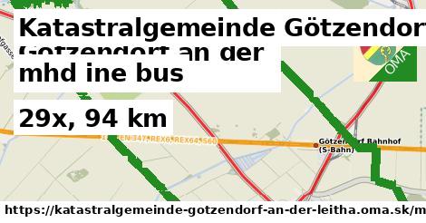
V Katastralgemeinde Götzendorf an der Leitha prevádkuje iná 29 liniek dopravy typu bus, ktoré majú 94 km. Tieto sú tvorené dobrovoľníkmi ako ste vy. Môžete doplniť ďalšie.
Všetky Doprava od iná typu bus Slovenska.
Interaktívna mapa dopravy
Doprava od iná typu bus sa dajú nájsť aj cez regióny (napríklad pohorie alebo kraj).