basketbal, ihrisko,
Katastralgemeinde Götzendorf an der Leitha
plážový volejbal, ihrisko,
Katastralgemeinde Götzendorf an der Leitha
ihrisko, jazdenie na koni,
Gemeinde Mannersdorf am Leithagebirge
ihrisko, futbal,
Katastralgemeinde Götzendorf an der Leitha
tenis, ihrisko,
Katastralgemeinde Götzendorf an der Leitha
tenis, ihrisko,
Katastralgemeinde Götzendorf an der Leitha
tenis, ihrisko,
Katastralgemeinde Götzendorf an der Leitha
ihrisko, golf,
Katastralgemeinde Götzendorf an der Leitha
skejtbord, ihrisko,
Katastralgemeinde Götzendorf an der Leitha
ihrisko,
Katastralgemeinde Götzendorf an der Leitha
ihrisko,
Katastralgemeinde Götzendorf an der Leitha
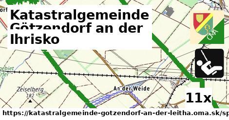
11x ihrisko,
5x detské ihrisko,
3x tenis,
2x futbal,
2x golf,
1x skejtbord,
1x jazdenie na koni,
1x golfové ihrisko,
1x športové centrum,
1x basketbal,
1x park pre psov,
1x plážový volejbal
Hľadáme ihrisko, OSM tagy: leisure = 'pitch'.
Zdroj dát
Mapové údaje pochádzajú z
www.OpenStreetMap.org, databáza je prístupná pod licenciou
ODbL.

Mapový podklad vytvára a aktualizuje
Freemap Slovakia (www.freemap.sk), šíriteľný pod licenciou CC-BY-SA. Fotky sme čerpali z galérie portálu freemap.sk, autori fotiek sú uvedení pri jednotlivých fotkách a sú šíriteľné pod licenciou CC a z wikipédie. Výškový profil trás čerpáme z
SRTM. Niečo vám chýba?
Pridajte to. Sme radi, že tvoríte slobodnú wiki mapu sveta.